Map of the County of Hainaut in the XVIth Century

subdivision in districts

haicem.jpg


haincrm1.jpg
haincr.jpg
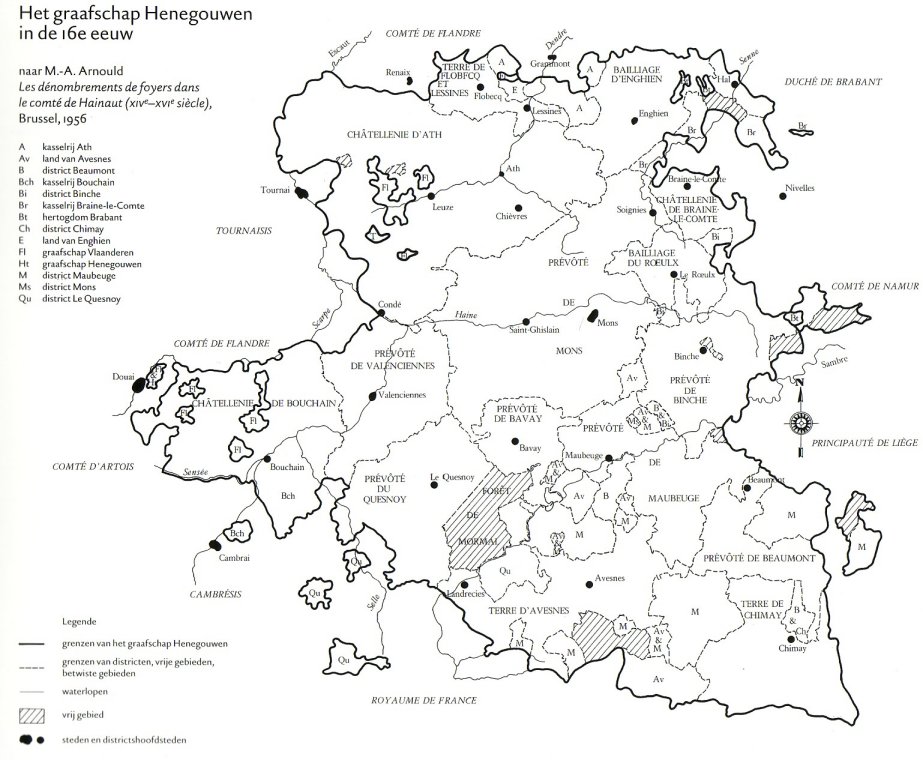
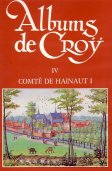
scanned from p. 15 in: Clair Billen e.a., Henegouwen, duizend jaar kunst en geschiedenis, 1998; Brussel, Mercatorfonds, 519 pp., ISBN 90-6153-415-1.
The map comes originally from p. 24-25 in:
Crédit Communal de Belgique, Albums de Croÿ, Tome IV, Comté de Hainaut I, 1986, Bruxelles, 232 pp., ISBN 2-87193-010-4


This page is created as illustration for our pages about the history of the territory of Belgium
Created 2003-01-17, relocated to the Combell server on 2020-10-25
Some texts may be affected by copyrights and eventually need to be removed from this server in the future
© Roger Thijs, Euro-Support, Inc.